Nicaragua is the largest of all Central American nations. The country is located between Honduras to the north, Costa Rica to the South, the Pacific Ocean to the west, and the Atlantic Ocean (Caribbean Sea) to the east.
Nicaragua has a surface area of 130.373 km2 and is inhabited by some 5.8 million people (2010 census).
Topographically, Nicaragua is divided in three main geographic and climatic areas:
The Pacific Lowlands or the western region
Characterized by fertile, seismic activity and hot plains, the Pacific Lowlands is a relatively flat terrain broken by a line of active volcanoes parallel to the Pacific coast, the Cordillera Los Maribios. East of this volcanic chain is a rift valley forming a depression in which are two large freshwater lakes: Lago de Managua (56km long and 24 km wide) and Lago de Nicaragua (160km long and 75km wide). The largest freshwater lake in Central America, Nicaragua Lake is home to the world's only freshwater sharks (bull shark or Carcharhinus leucas).
Recent and ancient volcanoes eruptions have enriched the Pacific Lowlands with layers of fertile substrates. Geologic activity also produced important earthquakes that have destroyed parts of cities including Nicaragua’s capital, Managua.
Known as tierra caliente, ‘hot land’ in Spanish, the Pacific Lowlands is probably the most important area of Nicaragua for the economic activity and the demographic concentration.
The Caribbean Lowlands or the eastern region
Covering more than half of the country, this rainforest region is irrigated by a network of numerous rivers flowing into the Caribbean Sea. Also due to the intensity of the rainfall, the Nicaraguan Caribbean Lowlands are the wettest area of Central America.
A huge part of the Caribbean Lowlands has been designated in 1997 as a UNESCO biosphere reserve. The Bosawás Biosphere Reserve, representing almost 7% of the national territory, is the largest rainforest north of the Brazilian Amazon.
The North Central Highlands
Located between the Caribbean and Pacific regions, the highlands enjoy milder climate with lower temperatures and lower humidity. Also the highlands have higher altitudes than the lowlands. This triangular geographical area is composed of rugged mountain terrains (with ridges of 900 to 1,800 meters high) that alternate with wide fertile valleys.
The western slopes of the highlands are relatively dry because they are protected by the ridges of the highlands from the moist winds of the Caribbean. The eastern slopes are covered with rain forests and are lightly populated.
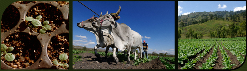
A significant part of the national agriculture crops is produced in this region. Generally tobacco is grown in the valleys and coffee on the valley slopes. Higher terrains host mixed forests mainly of oak, cedar and pine. In the cloud forests of the highlands (subtropical evergreen montane moist forests), other vegetal species such as oak, pine, moss, fern and orchids are found in profusion.